01
Map orientation drills
Short movement exercises that keep the map aligned with the terrain. Participants practise frequent reorientation and learn to read features from the direction they actually face.
Club activities
Our program moves from isolated technique to complete courses, giving members a clear way to practise reading, route choice, direction, distance, and control approach.
Core session types
Rather than repeating identical loops, we vary the task so members learn how the same map-reading principles behave in different terrain and at different speeds.
Short movement exercises that keep the map aligned with the terrain. Participants practise frequent reorientation and learn to read features from the direction they actually face.
Narrow route windows place extra emphasis on direction. The goal is not blind bearing-following, but combining compass stability with identifiable terrain clues.
Longer legs offer multiple viable routes. Members compare distance, climb, path speed, technical difficulty, and how much reliable checking each option provides.
Exercises focus on the final section of a leg: selecting an attack point, reducing uncertainty, and entering the control circle with a precise expectation.
Members practise recovering from uncertainty by stopping, identifying large reliable features, reconstructing recent movement, and returning to a known point when needed.
Complete courses combine technical execution with pace. Timing is used as feedback, while route quality and error prevention remain central to review.
Forest sessions
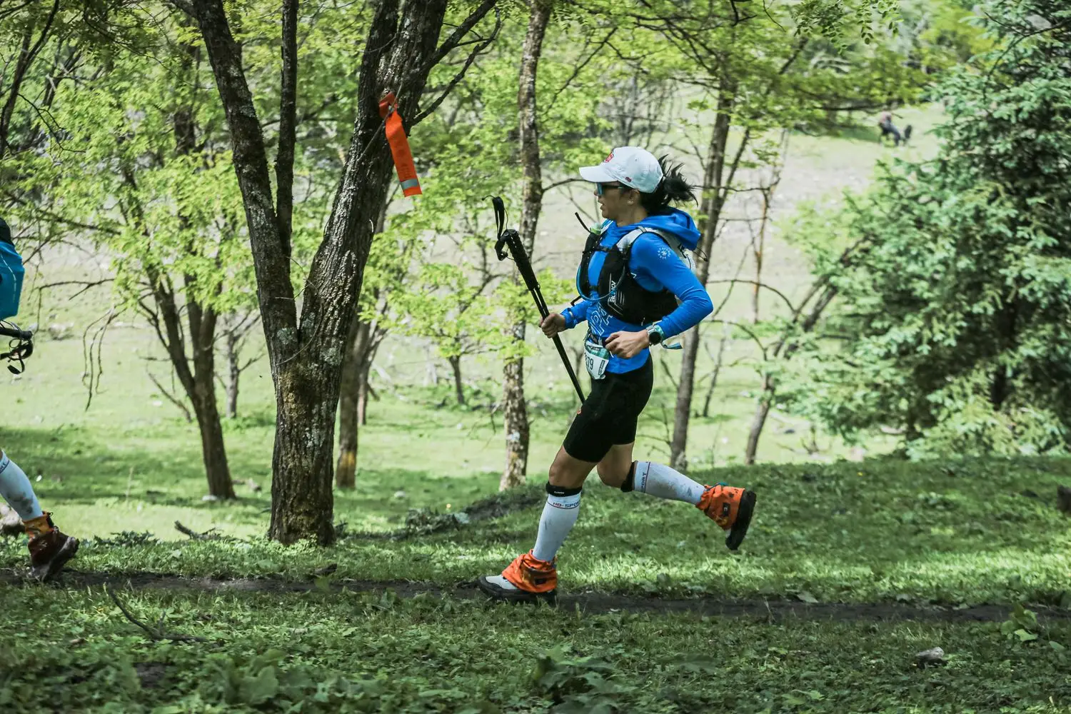
Woodland courses demand a different kind of attention from street navigation. Paths may disappear from view, contour shape becomes more important, and a direct route can be slower than a longer route with stronger features.
We teach members to identify large-scale terrain first, then add detail only when it supports the next decision. That keeps the map useful rather than overwhelming.
Urban and park courses
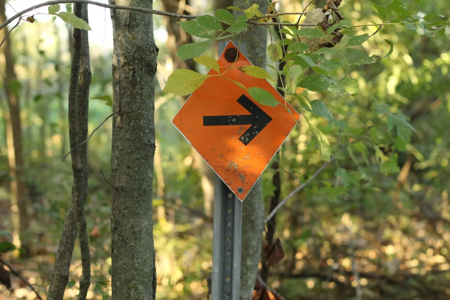
Urban and park sessions often allow faster running but require quicker map processing. A small route-choice mistake can add distance immediately, while a missed passage or uncrossable feature can invalidate an otherwise good plan.
These sessions are useful for practising ahead-reading, decisive turns, keeping contact with the map at higher speed, and distinguishing passable from impassable features before reaching them.
A typical technical cycle
The group identifies one or two skills that matter most for the session, so attention has a clear target.
Members clarify symbols, scale, contour interval, boundaries, and any local mapping conventions before starting.
Participants navigate independently or in a defined partner format, keeping the task focused on the stated technical goal.
The debrief compares expected terrain with observed terrain and identifies where route execution became easier or harder.
Tools of the activity
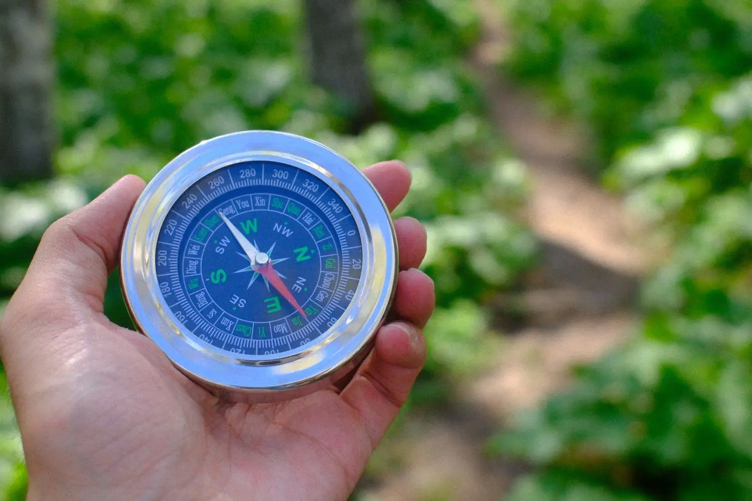
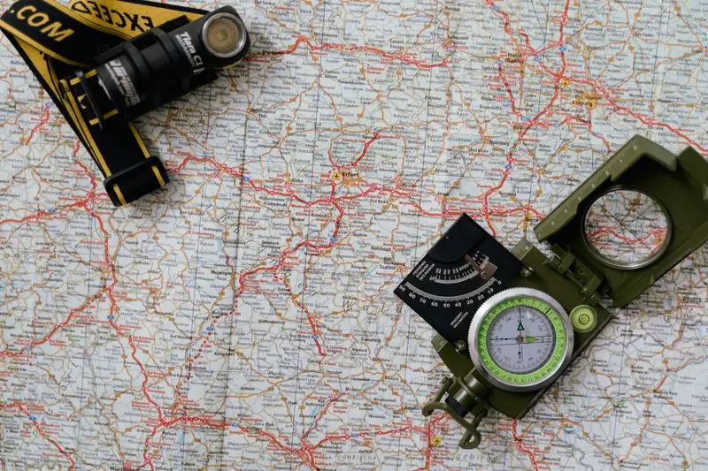
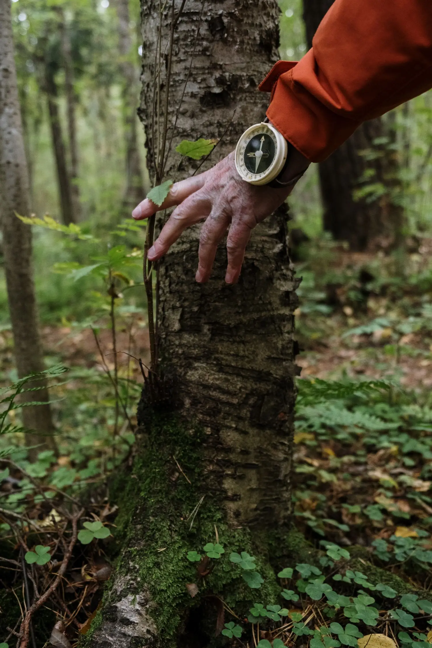
A map and compass are most useful when they support an established routine rather than replace observation.
Choose your next step
Beginners can start with guided fundamentals; returning or experienced participants can ask about current technical sessions.